 back
back Overview
At 11,499 feet high, Mt. San Gorgonio (also known as Old Greyback) is the highest mountain in Southern California. The summit is treeless and covered in snow for most of the year. The shortest route to the summit is over 10 miles round trip and over 4,000 feet elevation gain. There are multiple routes up the mountain, the most popular being South Fork and Vivian Creek.
Vivian Creek Route
Length: 7.8 miles one way, 15.6 miles round trip
Elevation Gain: 5,419 feet
Difficulty: In summer, the trail is a simple walk-up trail that is very easily to follow, rated class 1 on the Yosemite Decimal System. In winter, the trail is covered in snow and ice and requires route finding skills. The snow and ice makes the route mainly class 2 with a few class 3 spots. An ice axe, crampons, and snowshoes are strongly recommended
Time Required: Most people hiking in the winter will have to spend at least one night on the mountain, but some of the highly physically fit can reach the summit and back in one day if they start really early. It takes anywhere between 10 hours and 2 days for a round trip in summer. Some people are known to be able to reach the summit in 3 hours!
Location: Starting at Redlands, go east on Hwy 38. Go past the town of forest falls until you see a parking area on your left
Summer Route Description: From the parking area, there should be a road east of the parking lot following the river upstream. Follow the river for about 0.5 miles and then cross it. After you have crossed the river, walk on the left side of the valley right between where the steep mountains and the river valley meet. The purpose of this is to find the unmarked trail on your left. It is very easy to miss. The trail will wind up the steep mountainside for about 0.6 miles before flattening out and you enter a beautiful valley surrounded by a rushing creek and pine trees. Go another 1.6 miles and reach Halfway Camp. There should be a sign pointing to the camp and another one pointing to High Creek, which is towards the summit. Keep in mind, Halfway Camp is falsely named. Its more like one sixth way camp. From halfway Camp, it is 2.4 miles to High Creek Camp. This is the last designated campsite location before the summit. There should also be a 30ft waterfall on your right about 0.2 miles before High Creek Camp. After high creek camp you will follow a series of switchbacks up a hillside for 0.74 miles. What is very annoying here is that the switchbacks seem to gain about only a foot of elevation for every 100ft of distance. It is OK to cut the switchbacks when there is snow on the ground, but please resist from it in summer to avoid trampling delicate plants growing in the area. After the switchbacks you will come to a ridge. This is the first view you will have of Mt. San Jacinto (to the southeast), the 2nd highest mountain in Southern California. Follow the ridge for another 0.7 miles. You will know you are going in the right direction if you see a a treeless hill covered in red sand, known as Red Hill. After Red Hill, follow the trail for about 1.3 miles to the summit. About half a mile before the summit, there you should see another trail coming from the west. This trail junction is known as Jepson Divide. Hike slightly off trail to the edge of the cliffs and you should see Mt. Jepson to the west. The area between Jepson Divide and the summit is a easy and relatively flat area.
Winter Route Description: This is basically the same as the summer description. The only difference is that there is no trail to follow. It is recommended for someone looking to hike the mountain in the winter to do it a first time in the summer so they can get the general sense of direction. Because of the thick brush on the mountain, it is easy to get lost, unlike sierra peaks where there are no trees. In snowy conditions, use more caution while climbing these parts of the route: The first part of the route after crossing the river, the slope above Halfway camp, and the slope above High Camp. These areas are dangerous in icy conditions.
Permits: Permits are required to hike anywhere in the San Gorgonio Wilderness. Permits for Vivian Creek are most conveniently picked up at the Mill Creek Ranger Station. Dayhike permits are first come first serve and are free. Parking at the trailhead requires a $5 Adventure pass. Click here for the location, hours, etc of the Mill Creek Ranger Station. Click here for the form to fill out if you are camping overnight on the mountain.
Fall and Spring conditions: These conditions can be summer or winter conditions. It is not unusual to have waist deep snow in November. Check the current conditions and weather forecast below for more information.
Best Time of Day
Lighting for photos is best between sunrise and 3 hours after sunrise and between 3 hours before sunset and sunset. Camping at Jepson Divide will give you nice views of Mt. Jepson when you wake up and go to bed. There is likely to be ice on the mountain in the morning and after the sun goes down.
Best Time of Year
This mountain has different scenery all year long. In summer, the summit will be barren and ugly with all the snow melted, but views from the ridge above high camp and the forests below are still very nice to photograph. Keep in mind, the mountain is most crowded in summer and it is difficult to get a permit. In winter, the summit is the area worth taking pictures of, especially facing south. It is easy to get a permit in winter and there will be barely any people on the mountain.
Bears
Bears are very active in the San Gorgonio wilderness. Although attacks are very rare, sightings are very common. If you are camping overnight, store all your food in a bear proof canister. You will not need to worry about bears if you are camping on the summit, only if you are camping at High Creek of Halfway Camp.
Maps and Photos
Vivian Creek Route Map
Mt. San Gorgonio via Vivian Creek photos
More Info
Current trail conditions on Mt. San Gorgonio
Weather forecast
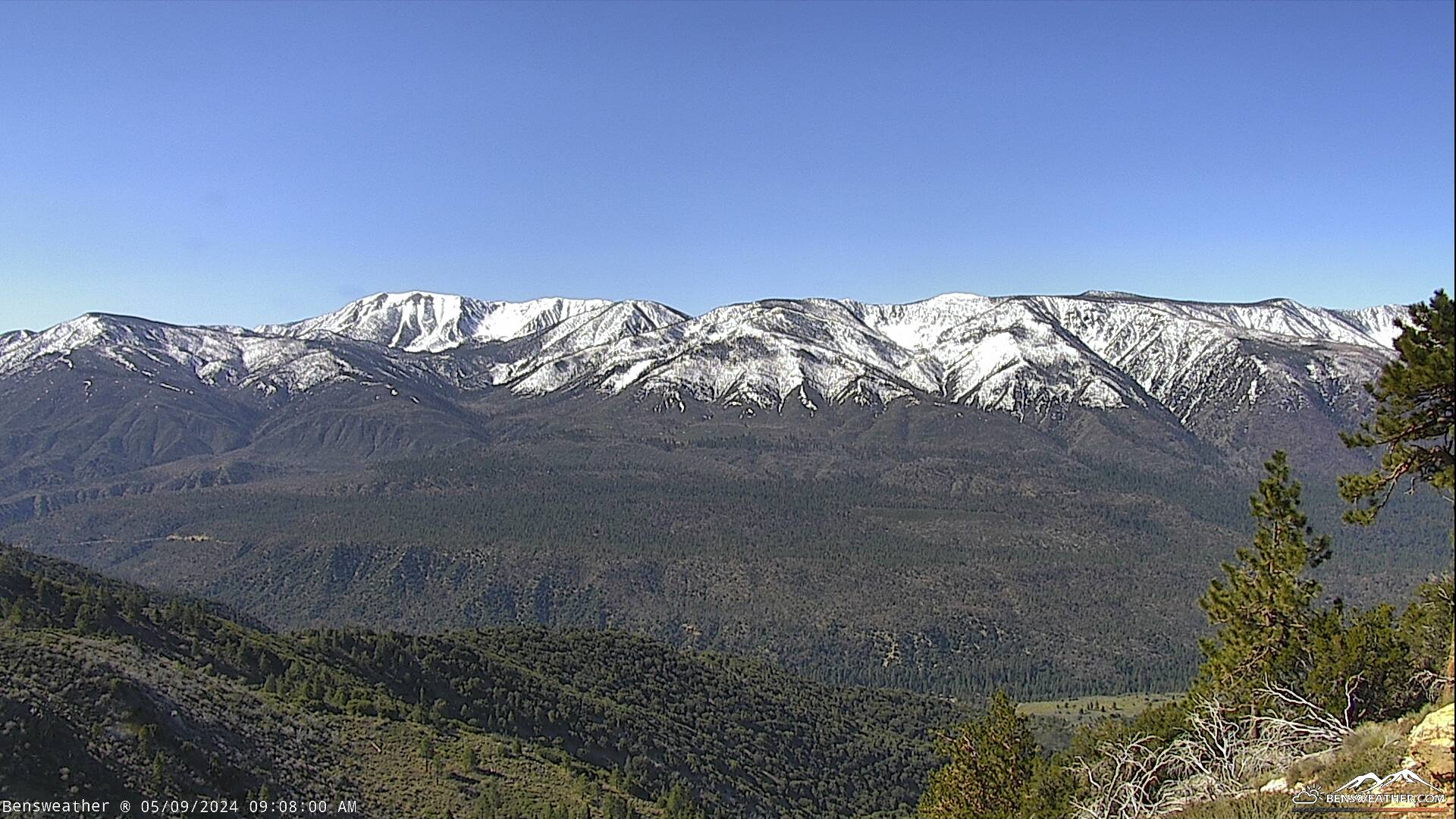
LIVE webcam of Mt. San Gorgonio
Other routes up Mt. San Gorgonio